
Part One: Love At First Site
The first time I visited Pictured Rocks, I fell in love.
I didn’t know anything about it. I think I’d seen one billboard on an interstate outside Detroit, and decided that if Eugene and I were driving from Ann Arbor to my parents’ place at Whitefish Lake, outside Thunder Bay, we needed to make at least a quick stop.
I’m pretty sure I googled something like, “What to see at Pictured Rocks if you’re just driving through.” Two answers kept coming up: Miner’s Castle and Sand Point. Google recommended Miner’s Castle and the name intrigued me. So that’s where we went.
We stopped there on an idyllic mid-August evening and I fell in love. We ate the Whole Foods deli salads we’d packed at a picnic table, then walked down to the beach.
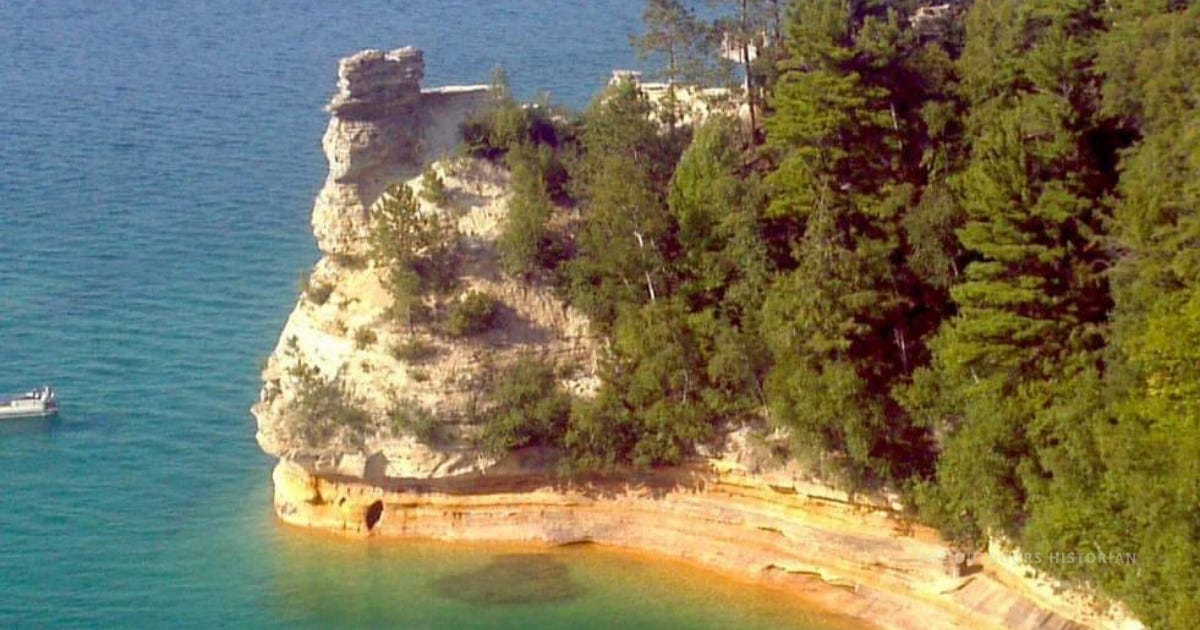
I had never seen a Lake Superior beach look like this — sugar sand sprawling out in each direction, turquoise water that looked more Caribbean than Great Lakes, and warm enough to actually swim in.
I grew up on this lake, but I had never experienced it like that. It was the first time it ever felt like it was welcoming me.
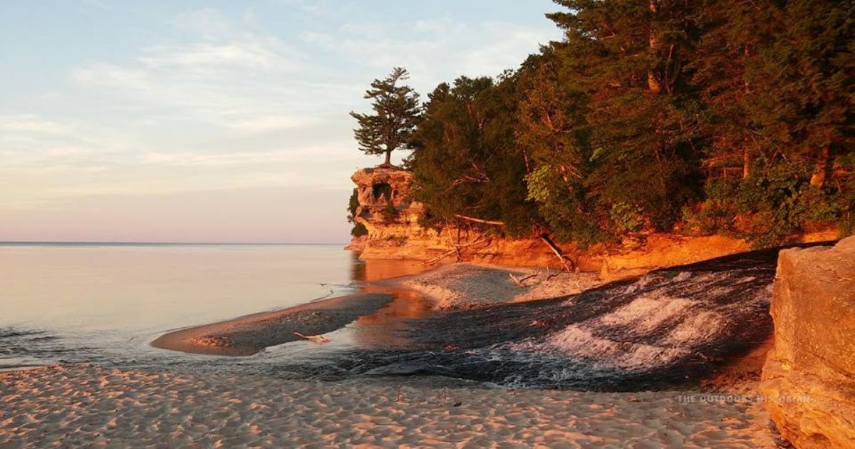
We waded around the river mouth by Elliot Falls far longer than we meant to. When we finally pulled ourselves away and kept driving, we didn’t get far — the beach near Au Train stopped us again. As we drove on through Marquette and reached Negaunee, there was a beautiful sunset over Teal Lake.
I fell in love with the whole U.P. that day.
I knew we had to come back.
The chaos of grad school left me little time to plan in the fall or winter, but when the following spring hit and we discussed summer plans, I knew what I wanted to do. I had to go to the northern Lower Peninsula for research. Why not add on a camping trip to Pictured Rocks?
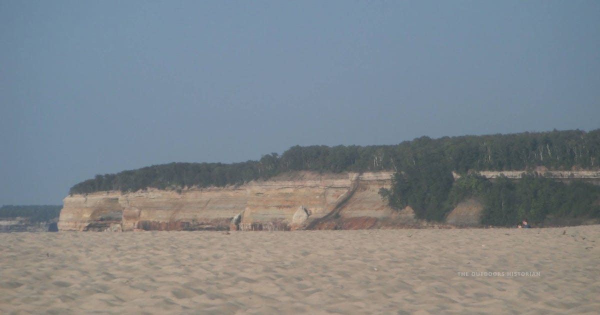
There was one complication: camping near the cliffs meant backpacking — the drive-up campgrounds sat well outside the dunes and cliffs we actually wanted to be near. And neither of us had backpacked before. But that fact did not stop us.
At the time, I was also channeling the stress of grad school into some fairly disordered exercise and eating habits — something that cost me more than it gave me. One thing it did give me, at least for those months, was a level of physical fitness that made the trip possible: we could pull off five-to-eight-mile day hikes some weekends, including over sand dunes with a decent amount of uphill, without much trouble. Eugene figured that as long as we stayed on a real trail while backpacking instead of slogging through loose sand, we’d be fine. If you know Eugene, you know he’s never one to worry much about a physical challenge.
Every how-to guide said to do a shakedown trip first. We didn’t have time, or so we told ourselves. We did try one Mountain House meal at home beforehand and decided, unanimously, that we would not be choking that down on the trail — so instead we planned an unconventional route built around our priorities, and real, mostly fresh ingredients.


Our backpacking plan was to start at the Log Slide trailhead, hike east to Masse Homestead for our first night among the dunes, then hike back to the trailhead and drive to another trailhead and take a shuttle to do another few nights near the cliffs.
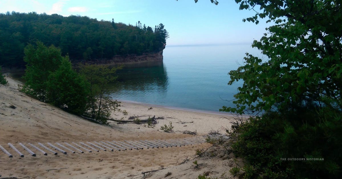
Our Masse Homestead night became our accidental shakedown. The original plan for the next stretch had been a shuttle from Miner’s Castle out to Chapel Beach over a couple of nights. After a first night’s worth of gear mistakes, we scrapped that and shortened the route instead by starting at the Chapel Beach Trailhead. It meant our first several miles wouldn’t be along the lake, but it also meant a much shorter hike with our backpacks, giving us time to set up camp and still get in some additional exploring.
In many ways, it was something of a disaster. But even between the mistakes and a thunderstorm that left us completely drenched, we had a blast.
We loved the area even more.


Part 2: One Thing Grad School Didn’t Teach Me
What I remember most, though, about that trip wasn’t the mistakes. It was how different everything felt. We hiked beneath broad canopies of maple and oak, with almost no understory — nothing like the spruce, fir, and birch I’d grown up with near Thunder Bay. It felt more like the woods around Ann Arbor than the boreal forest of home.
At the time, I’d just finished my comprehensive exams. I was “ABD” — all but dissertation — spending most of my days in archives, reading nineteenth-century letters and treaty records. One of the women I was researching was Ozhaawshkodwekwe, also known as Susan Johnston, an Anishinaabe woman who ran a large and prosperous maple sugar camp near Sault Ste. Marie each spring.
Hiking through those maple stands on the North Country Trail, something clicked that the archive alone hadn’t given me. I could suddenly picture the landscape in the northern Great Lakes that had sustained a camp productive enough to yield thousands of pounds of maple sugar a season. As the crow flies, her camp was less than a hundred miles from where we were walking.
Grad school had taught me a great deal. It hadn’t taught me that being in a place could deepen my understanding of its history — that was something I only found out by walking through it.
I couldn’t yet explain why Pictured Rocks felt so different from the North Shore I knew growing up. I hadn’t connected the hardwood forests to the sandstone cliffs, or the cliffs to the sand beaches I loved lounging on. But something had shifted. I started asking more questions everywhere I went. And I stopped sticking with the “typical” historian question of “what happened here before I arrived?” I began to branch out, wondering why this forest looks different, or why this shoreline feels different. At their heart, they were different ways of asking, “why is this here?”
Most of the time, grad school didn’t leave me the bandwidth to chase the answers. But the questions stayed with me.


Part 3: Learning to Read the Story
A few years later I had finished grad school. Freshly minted with a PhD, I started as an assistant professor at Northland College and began teaching in Superior Connections, a first-year program built around the Lake Superior watershed. Each week, faculty from different disciplines climbed into vans together and spent a day somewhere in Ashland or Bayfield County.
I thought I was teaching history on field trips. But throughout the years, I realized I was getting an education of my own.
I’d stand in a place I’d already visited, now surrounded by colleagues who each noticed something completely different. The geologist looked at rock and soil. The ecologist looked at the plants those soils supported. The English professor listened for the stories people told about the place. I found myself drawn to stories about people who’d lived, traveled, and built lives and communities at these places before us.
We weren’t looking at different places. We were reading four chapters of the same one.
One trip has stayed with me. At Copper Falls State Park, the geologist pointed out tilted layers of lava from the Midcontinent Rift, over a billion years old. The ecologist traced how that ancient bedrock shaped the soil, and how the soil shaped the forest around us, including the overstory of hemlocks and white pines, and the understory, that included partridge berry. Suddenly the landscape wasn’t just beautiful. It had a story.
My mind went somewhere else entirely. I thought about the 1842 Treaty of La Pointe, which opened this same region — including what’s now Copper Falls — to mining, after Anishinaabe leaders ceded millions of acres under enormous pressure. I thought about the logging and prospecting of iron and other valuable metals that followed that treaty.
Then, sitting together in a Civilian Conservation Corps pavilion, our English professor led a discussion on the CCC’s legacy of parks and stonework. I found myself telling the students about the CCC’s “Indian Division” — where Anishinaabe men found work at the exact moment their treaty rights to hunt, fish, and gather were being increasingly criminalized.
The same place held all of it at once. Ancient lava. Northern hardwoods. A treaty. A mine. A federal conservation program. Foodways pushed underground. None of those stories competed with each other. They were woven together — different ways of reading the same ground.
And if “Why is this here?” is the kind of question you like sitting with, make sure to subscribe — this is exactly the kind of thing we dig into around here
Part 4: The Wonder In Asking Why
Years later, I was leading a trip around Lake Superior with the most the recent cohort of Superior Connections students. We were outside of Thunder Bay at Kakabeka Falls. A student stopped on the staircase down toward the overlook.
“Wow,” she said. “Look at the size of that white spruce.”
She wasn’t looking at the waterfall. She was looking at an old-growth tree rooted improbably into the cliff face.
“Do you think it survived because of where it’s growing?” she asked.
I affirmed her instincts. “We often find some of the oldest trees in places that were too steep or too difficult to log. Cliffs and ravines sometimes became accidental refuges.”
Years earlier, I probably would have pointed out that tree myself. This time, one of my students noticed it before I did.
We stood there a moment, looking at it together. It had rooted itself there before the dam upstream. Before the park. Before most of the forest around it had been logged.
Why is this here?
Only now, someone else was asking it.
I’d love to know — have you had a moment like this, a place or a trip that changed how you saw everything after? Tell me in the comments.
If you're headed to Pictured Rocks yourself, here's more on the Circle Tour: