Material Culture Monday: Cana Island Lighthouse

The Cana Island Lighthouse is 89 feet tall. It was built in 1869 and first lit in 1870. It's on the Door Peninsula's eastern (Lake Michigan) coast, just outside of Baileys Harbor. The light is a Fresnel lens. It was originally fueled by lard. Later, it was fueled by kerosene and then by acetylene. Each night, oil had to be carried to the top of the tower by the keeper or his assistant to keep the light fueled. Since 1945, it has been powered by electricity.
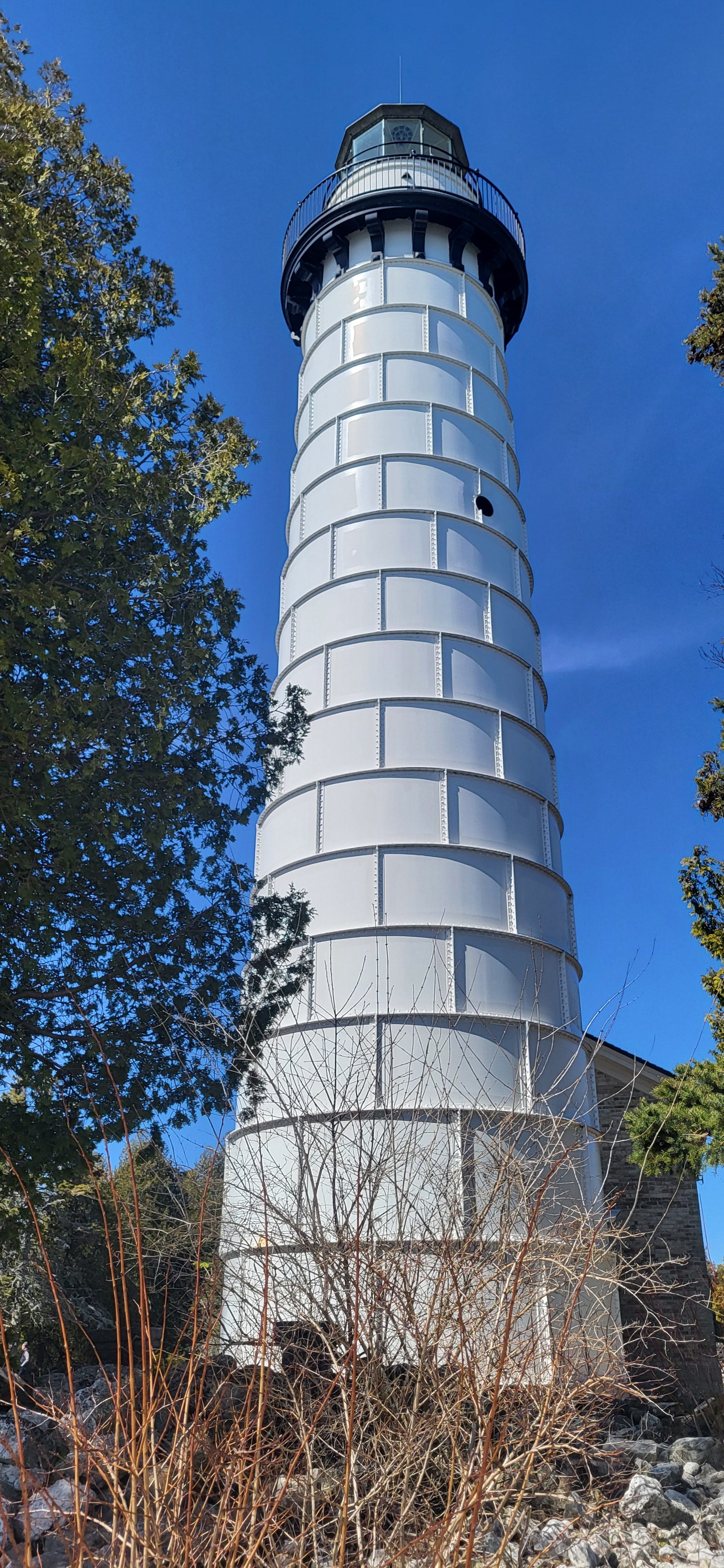
Cana Island Lighthouse. Image by the author.
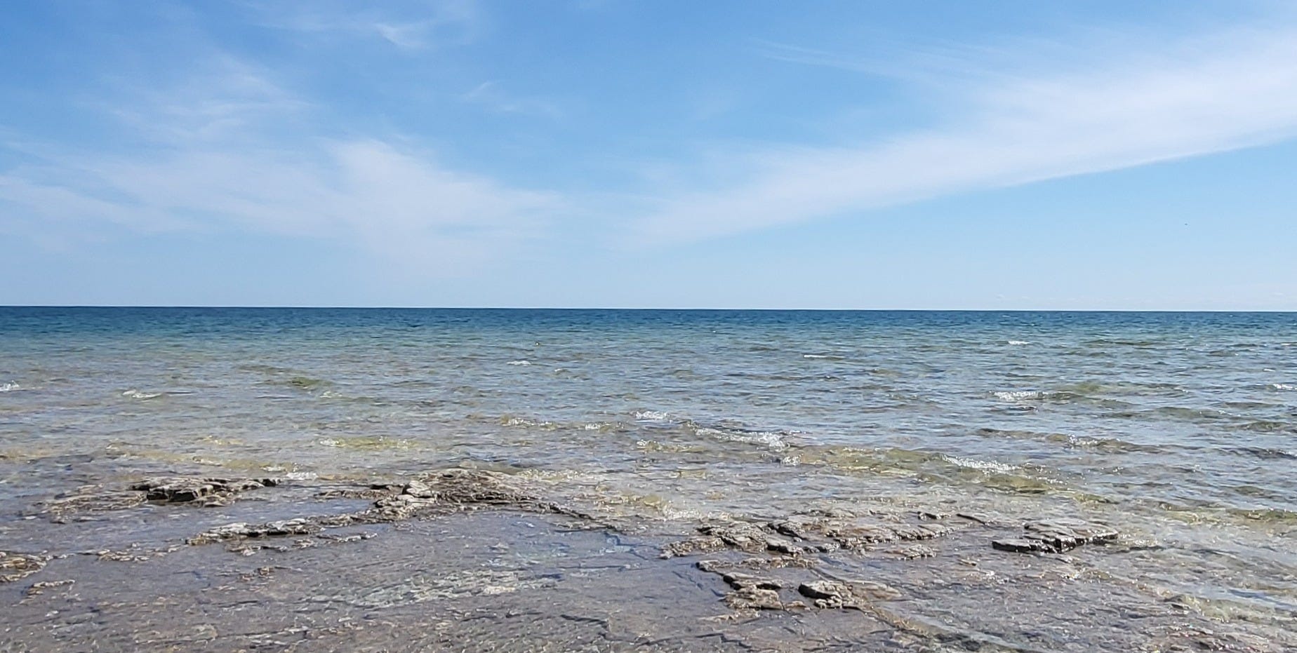
The lighthouse is on a small 8.7-acre island connected to land by a narrow tombolo during low-water years. If the water is high, the path to the island could be covered by a foot or more of water. The lakes are low right now, and we could easily walk across on a windy day during our visit in early April.
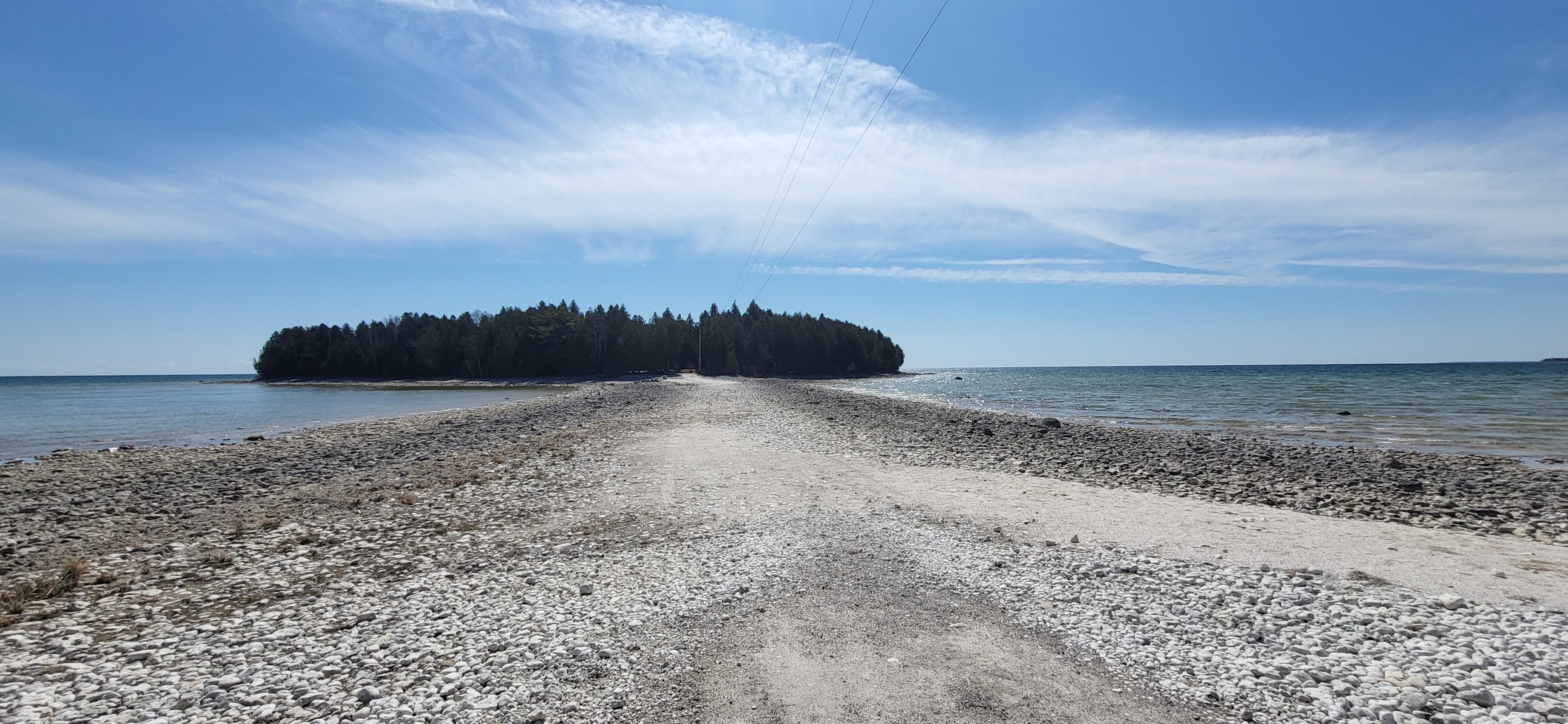
The path to Cana Island. Image by the author.
When the lighthouse was first built, only wooden walkways on top of rocks and a little dirt covered the area around the buildings. I can only imagine how isolating and terrifying it was to be on the island during that period, during a fierce gale!
Starting in 1900, a crew of men with eight teams of horses and wagons hauled in topsoil. Six weeks later, they covered the area with grass. Keeper Oscar Knudsen and his assistant built on these earlier efforts by creating a wall around the island's eastern end between 1919 and 1921 to help keep water from the house and grounds during storms when the lake water was high.
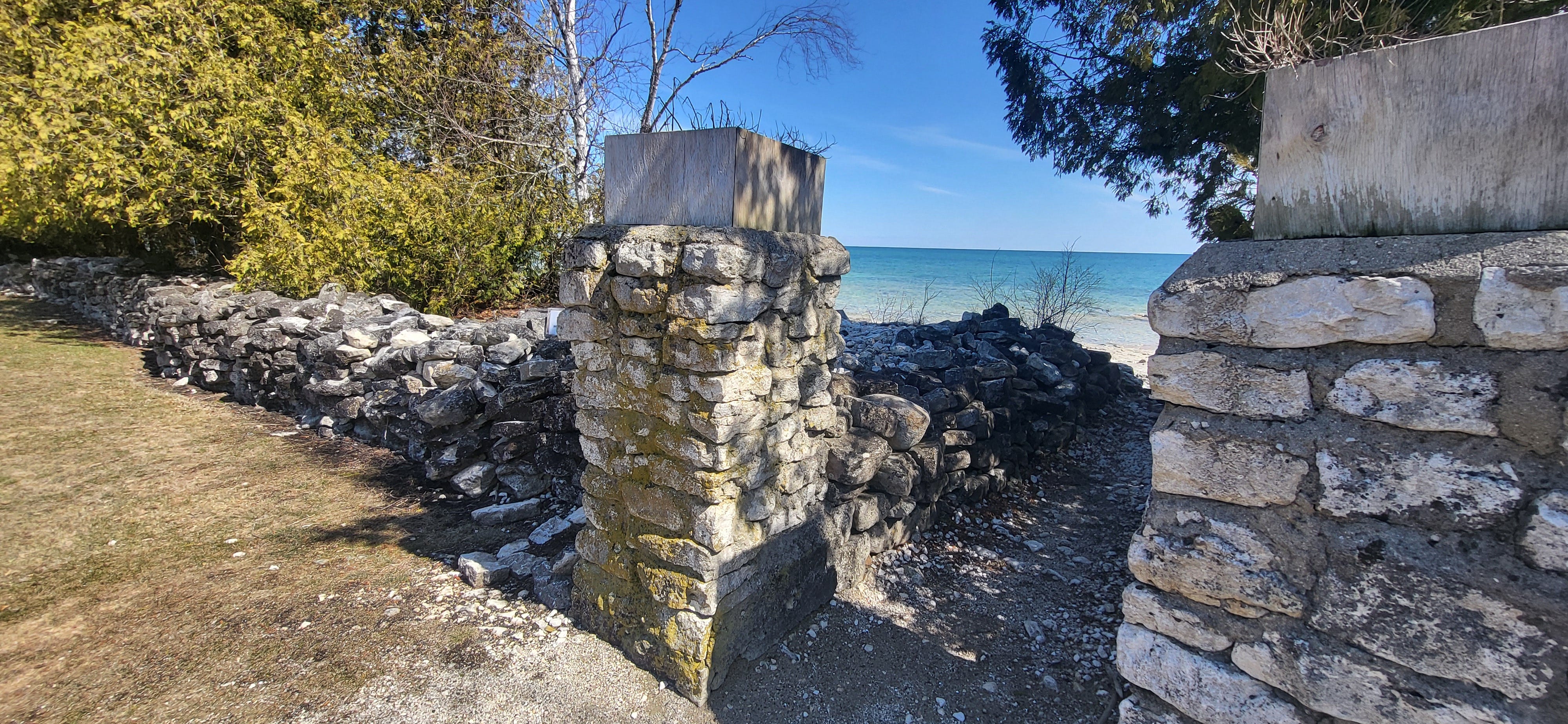
The wall built by Knudsen and his assistant. Image by the author.
The island is home to a lighthouse, keeper's quarters, a historic privy, and a hexagonal building housing an oil tank that was the light's fuel for decades. There are also some modern buildings, including a visitor's center (closed during our visit) and an outhouse (open during our visit).
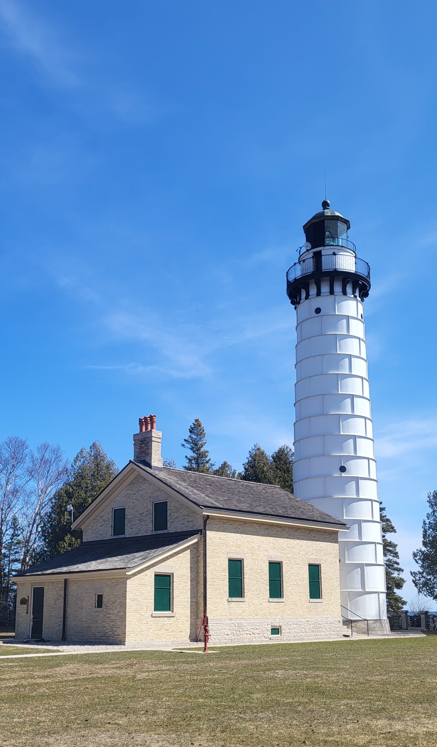
The lighthouse and keeper’s quarters. Image by the author.
The lighthouse emerged at a specific time, representing demographic, economic, and political changes sweeping across the northern Great Lakes. By the 1830s, American officials pressured Menominee peoples to sign treaties ceding their land. In the following decades, the Menominee and other Indigenous peoples were pushed onto reservations. American settlers increasingly moved into the region to work in the growing logging and mining industries. Settlers attempted to turn cutover land into farm fields.
Commercial fishing and tourism emerged as industries by the late nineteenth century. The steamship and railroad industries grew in tandem. Steamships carried goods and passengers from railroads in the Atlantic states across the lakes to railroads. Then, along with iron ore, brownstone, copper, and lumber extracted from the northern Great Lakes, railroads carried the goods West to build growing cities.
Water provided important and necessary resources, like fisheries and transportation, for growing communities. Image by the author.
Expansion and growth in the second half of the nineteenth century were fueled by resources extracted from recently ceded Indigenous lands. Brownstone from the Apostle Islands created buildings in cities like Chicago, Milwaukee, and Minneapolis, copper from the Keweenaw Peninsula was transformed into wires for electricity, iron ore from northern Minnesota was shipped to the Rust Belt and turned into steel, and northern forests were used to create ships, railroads, and buildings locally and across the western half of the United States.
Railroads bought and built steamship lines to complement railroad services, connecting port cities in New York, like Buffalo, to port cities in the Northern Great Lakes like Sault Ste. Marie, Superior, and Duluth. A similar network emerged across the border in Canada, connecting the wheat-rich Prairie Provinces with Atlantic markets. At the same time, steamships facilitated a growing tourist industry, with places like the northwest lower Peninsula of Michigan, Mackinac Island, and Madeline Island emerging as tourism centers.
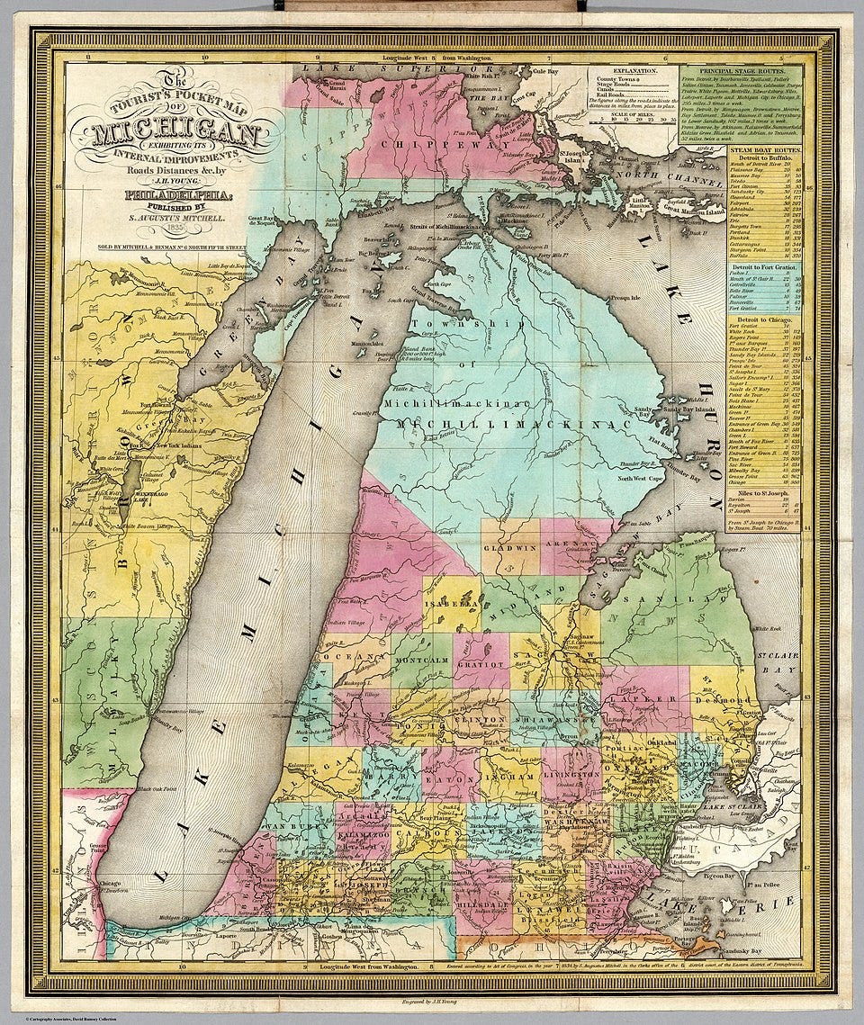
A map of Michigan from the mid-nineteenth century that includes a sidebar listing the routes of steamboats. Image available on Wikimedia Commons.
.jpg)
All of this increased traffic on the lakes required the construction of lighthouses to aid navigation. This was the context that created the need for the Cana Island Lighthouse.
The lighthouse and early buildings were built out of cream city brick, a locally produced material made from a cream or light yellow-colored brick made from a clay found around Milwaukee, Wisconsin, in the Menomonee River Valley and on the western banks of Lake Michigan. In the early 1900s, steel cladding was added to protect the lighthouse since the brick was deteriorating. The materials of the lighthouse symbolize the multiple extractive industries that developed in the mid-nineteenth to early twentieth century to create the building materials used for growing rural and urban communities.
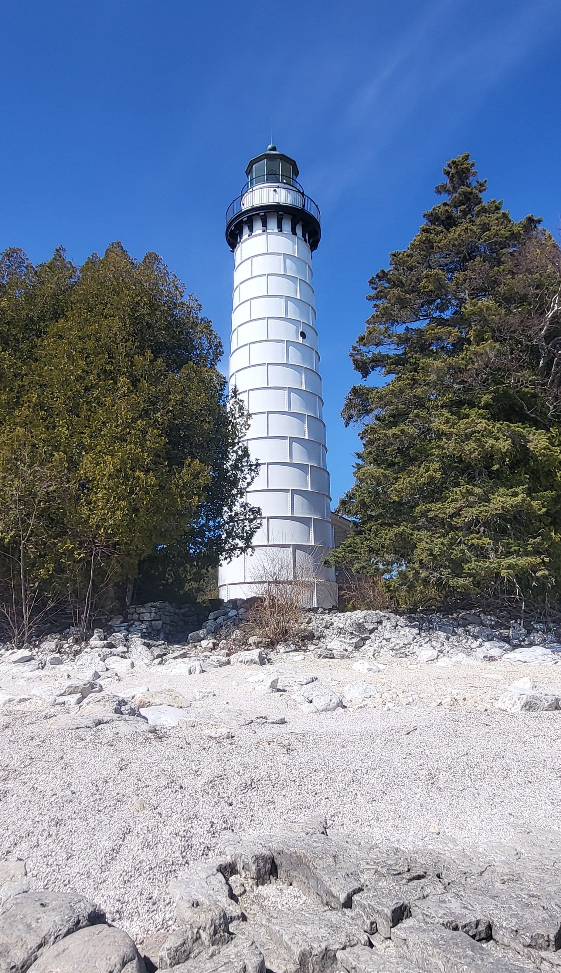
Cana Island Lighthouse viewed from the limestone shore. Image by the author.
While lighthouses were important navigational aids on the lakes, they were not enough to prevent tragedies on the lakes. Shipwrecks and the deaths of sailors on ships were a tragic part of life in the regions.
On Cana Island, wreckage from the M.J. Bartelme has washed ashore and is visible to visitors. The M.J. Bartelme was an ore, coal, and grain freighter that had finished delivering a load of coal to Milwaukee and was headed to Escanaba in the Upper Peninsula when she ran aground on the southeast point of the island on October 4, 1928. Crews from the Baileys Harbor Coast Guard Station were able to rescue the crew from the stranded ship. On November 5, the ship broke in two and sank in fifteen feet of water. When material culture from shipwrecks washes up on shore, it transcends from the underwater realm to our earthly realm.
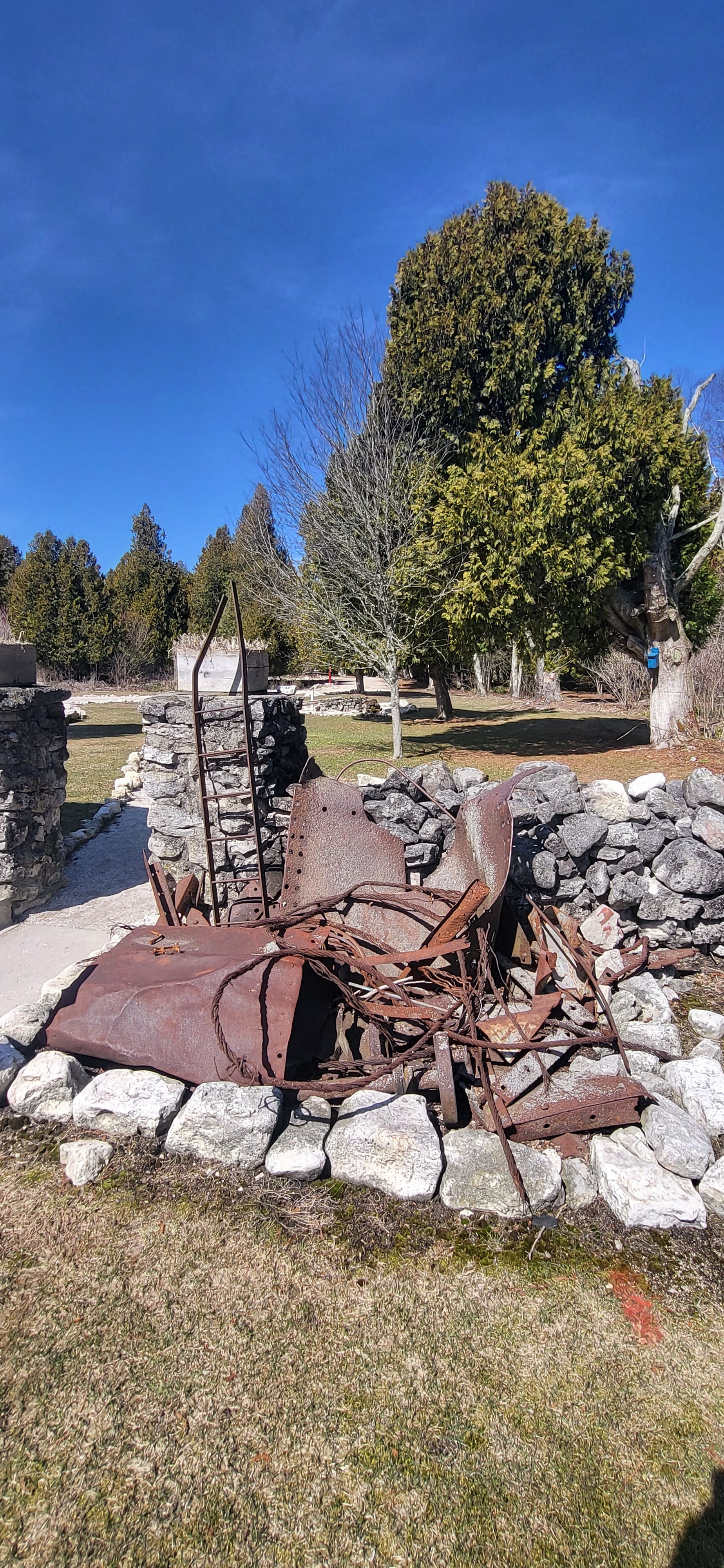
Wreckage from the M.J. Bartelme. Image by the author.
Since it was the offseason, our visit focused on wandering the island and admiring the lighthouse and buildings from the outside. We read the signs and learned about a barn that was built in 1885 and stood until it was razed by the United States Coast Guard in 1945. We also learned about the island's original privy and a two-seat privy built in 1906. Because of the solid limestone bedrock eighteen inches below the surface of the soil, pans were used under the privy holes since digging a deep hole was impossible.
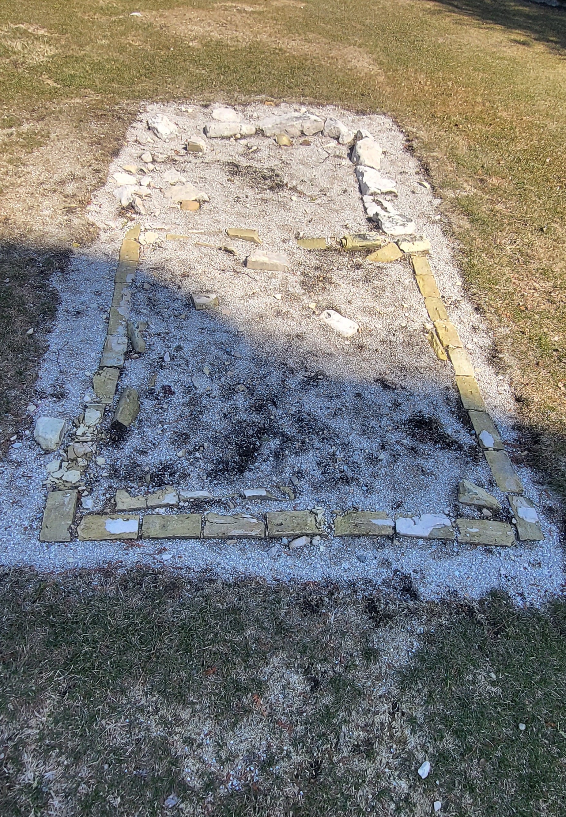
The footprint of the original privy. Image by the author.
As someone who appreciates a good privy in the outdoors, I always appreciate learning about their history! And a two-seater is an interesting choice to ponder. It would certainly be an interesting way for a lighthouse keeper and his assistant to bond . . .
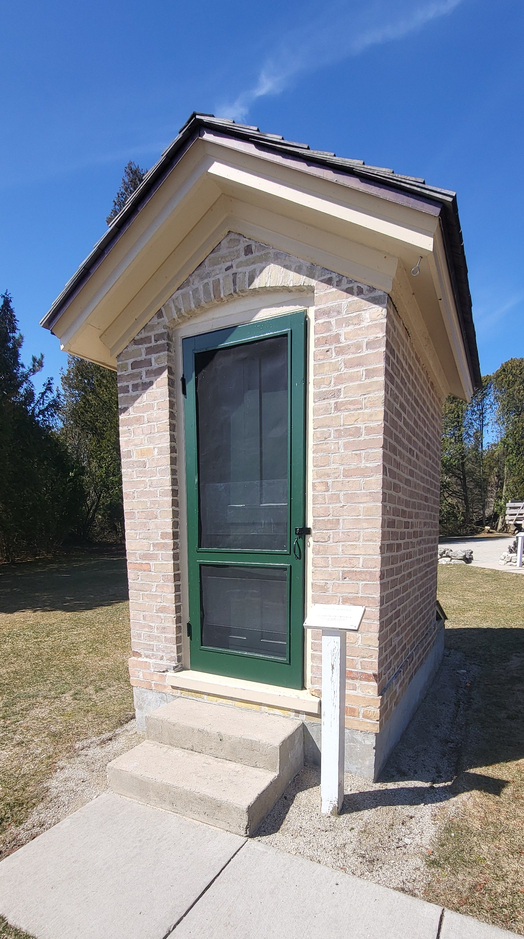
The double privy built in 1906. Image by the author.
We also learned how oil was transported from the tank to the lighthouse. The lighthouse was added to the National Register of Historic Places in 1976.
Today, Cana Island Lighthouse is still an active navigational aid (powered by electricity rather than oil) and is under the jurisdiction of the United States Coast Guard. We look forward to visiting Cana Island again when it's open for tours!
Interested in learning more about the Cana Island Lighthouse? Here’s a great source that I found!